Discover
Visualise ASX announcements immediately on release.
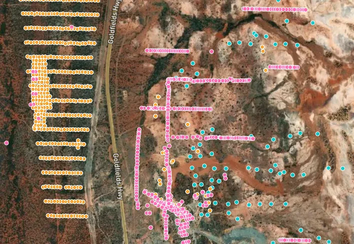
Canetoad provides layered context on whats in the ground.

ASX Report

Canetoad Discover
Make decisions based in data.
Skip the Director special & make informed decisions based on data.
Analysis up front
React faster & more accurately to announcements with summaries & statistics.

See the hits in context
View the ground truth of an announcement alongside historical data & geospatial rasters.
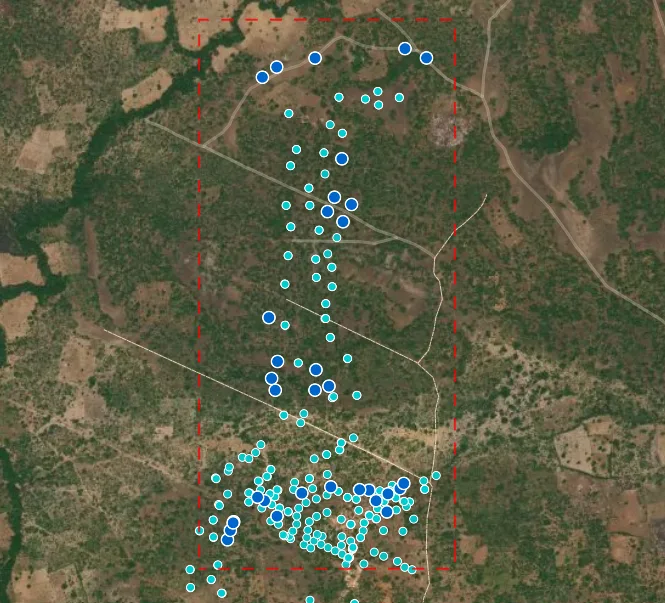
Quickly spot the best intercepts.
View the best intercepts across elements without pouring over document tables.
Released to visualised in minutes.
Canetoad's pipelines reads, extracts, validates & plots ASX announcements immediately on release.
Realtime data extraction
Canetoad processes & extracts data from announcements within seconds of release.
Validated Data
The pipeline sanity checks announcement data & tries to repair where possible.
Skip the manual data entry
Visualise the announcement data with one click. No typing out tables required.