Explore
Consolidated data at your fingertips.
Canetoad unlocks announcement, state & federal datasets for painless diligence.
Explore
Survey ground without getting your boots dirty.
Build spatial context from extensive datasets & imagery without leaving the office.
Straightforward mapping.
Explore ground using a familiar interface. No complex menus or steep learning curves.
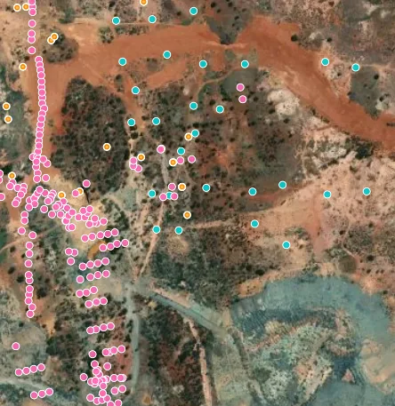
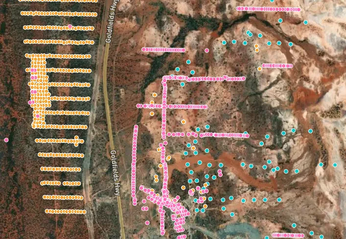
Build deep context without the hassle.
Overlay announcement, government, tenement & survey data. As easy as turning on a layer.
Model ground in 3D
Inspect any site or open ground with our 3D rendering engine. Just draw a polygon.
Clean, consolidated & comprehensive.
Canetoad has built an extensive database of geochemical data from across the globe.
Validated datasets in your browser.
Data is messy. Canetoad validates ingested data for coordinate, geochemical and quality issues.
Dozens of datasets in one place
Every dataset in Australia available when exploring ground.
Don't wait years for data to become available.
Blended ASX announcements & government data create real-time ground truth.
BYOD (Bring Your Own Data)
Combine your proprietary data & survey rasters with Canetoad's extensive database.
Data never leaves your device.
Canetoad can process & overlay of local vector & raster files to enhance your exploration activities.
Handles gigabyte files with ease.
Our app can process & render rasters that'll make QGIS quiver. Multi-GB files rendering within seconds.
Unlock forgotten exploration imagery.
Pull in terabytes of satellite & UAV imagery, surveys & more with a single click.